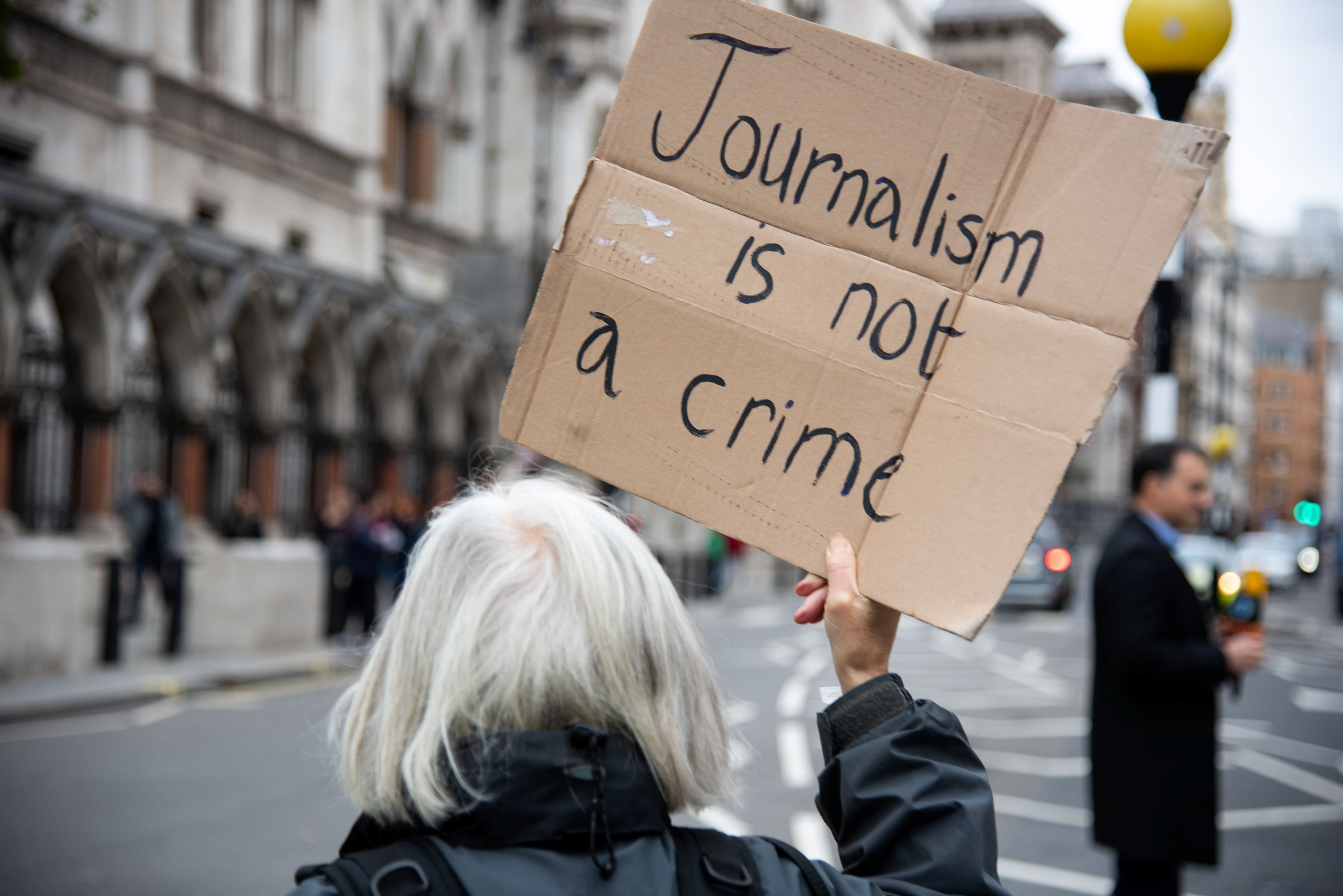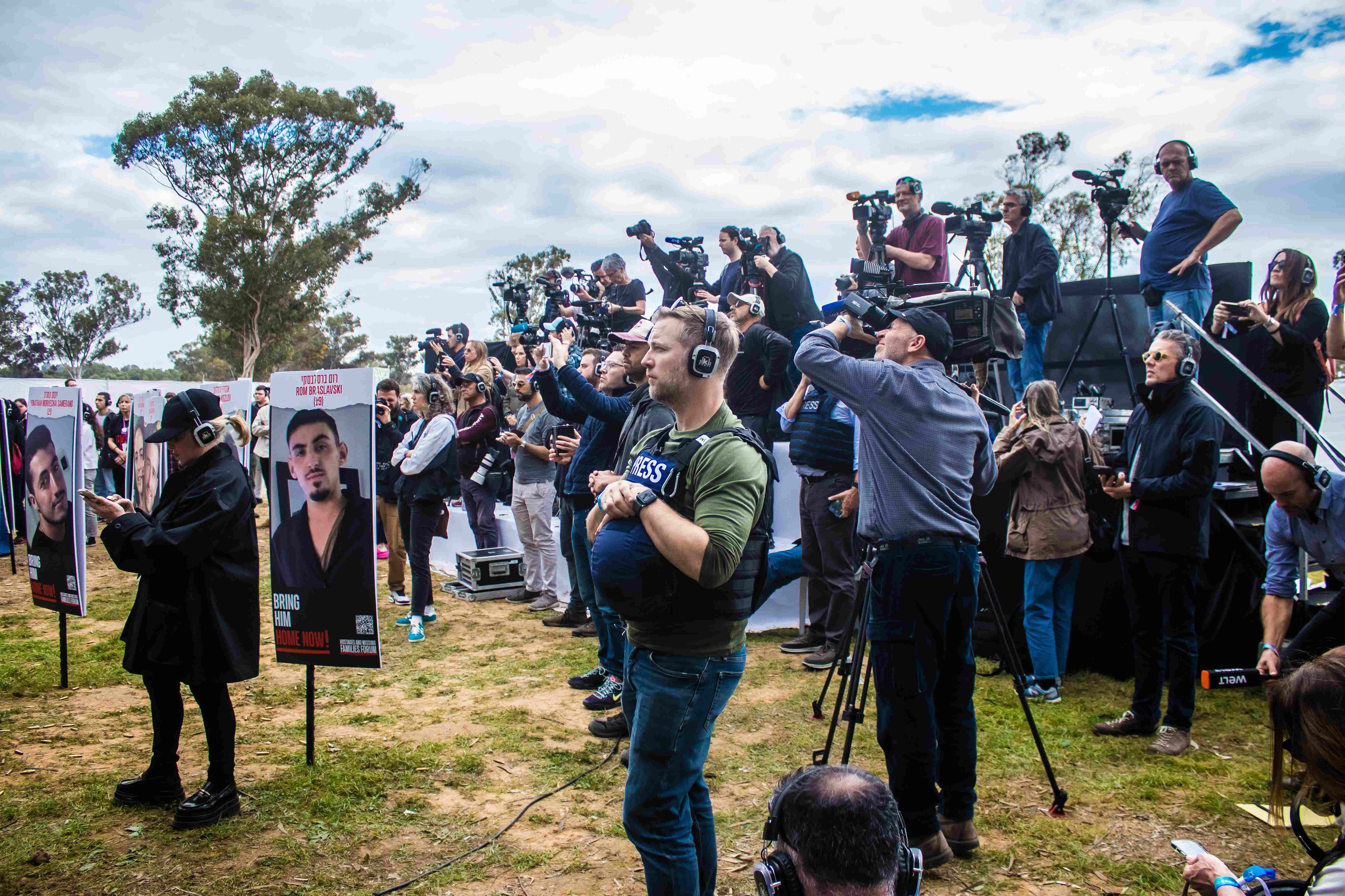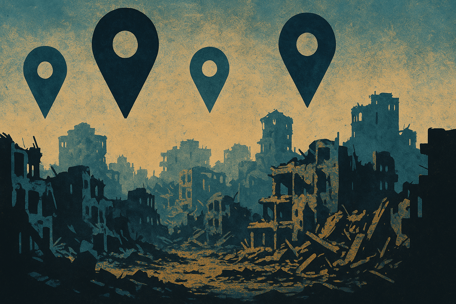

Amid Israel’s war on Gaza, Zina Q. uncovers how Google Maps and satellite imagery are being manipulated; homes relabelled as “haunted,” map updates delayed, and evidence of destruction obscured, revealing digital cartography itself as a weapon of war. By exposing these distortions and linking them to conflicts from Sudan to Ukraine, she demonstrates how control over maps and AI surveillance influences not only what the world sees, but also what it remembers.
Amid the ongoing war on Gaza, even the digital map has become a battleground. In a recent investigation for UntoldMag, journalist and researcher Zina Q. exposes how platforms like Google Maps are being manipulated, and traces anomalies on it, such as Palestinian homes relabeled as “haunted house”; pins that appear to mock or erase Palestinian life; and delays in updating the map of Gaza, and asks what it means when a platform we trust to navigate our movements is weaponized in wartime, and what it means when such distortions are permitted, or even protected.
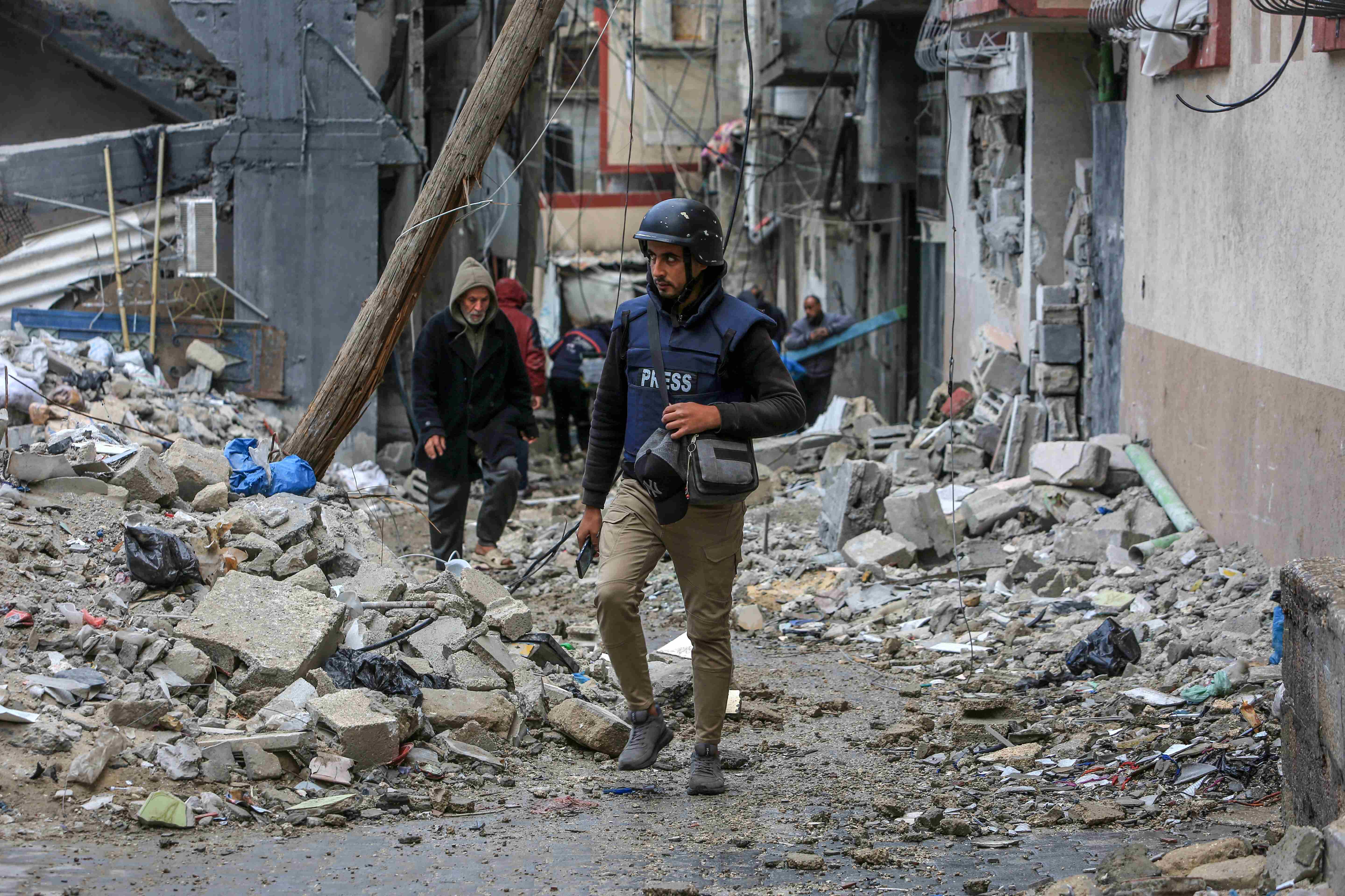
Zina’s investigation began with a simple search for imagery in Gaza, but it quickly evolved into a methodical review of map labels and satellite images. Beyond what is visible, she reveals what is missing: outdated or deliberately delayed satellite updates that obscure the extent and pace of the destruction in Gaza, in a war where evidence and messengers are often erased in real-time, these gaps are not accidental. They raise urgent questions about who controls access to satellite imagery, and whose suffering is allowed to be seen.
Drawing connections to similar cases in Southern Lebanon, Sudan, and Ukraine, Zina talks about the broader implications of AI-assisted surveillance, digital cartography manipulation, and how it shapes and controls what the world can see—and remember—about war.
Zina offers practical guidance for journalists who want to investigate the digital infrastructure and cartography without being misled by it.
This interview with Al Jazeera Journalism Review explores the growing monopoly over geospatial data by tech giants, and how their professed neutrality and public benefit often mask alignment with powerful states and militaries, while those on the margins, like Palestinians, face digital erasure and narrative exclusion.
What first drew your attention to the anomalies on Google Maps in Gaza? Do you think it’s an under-investigated issue?
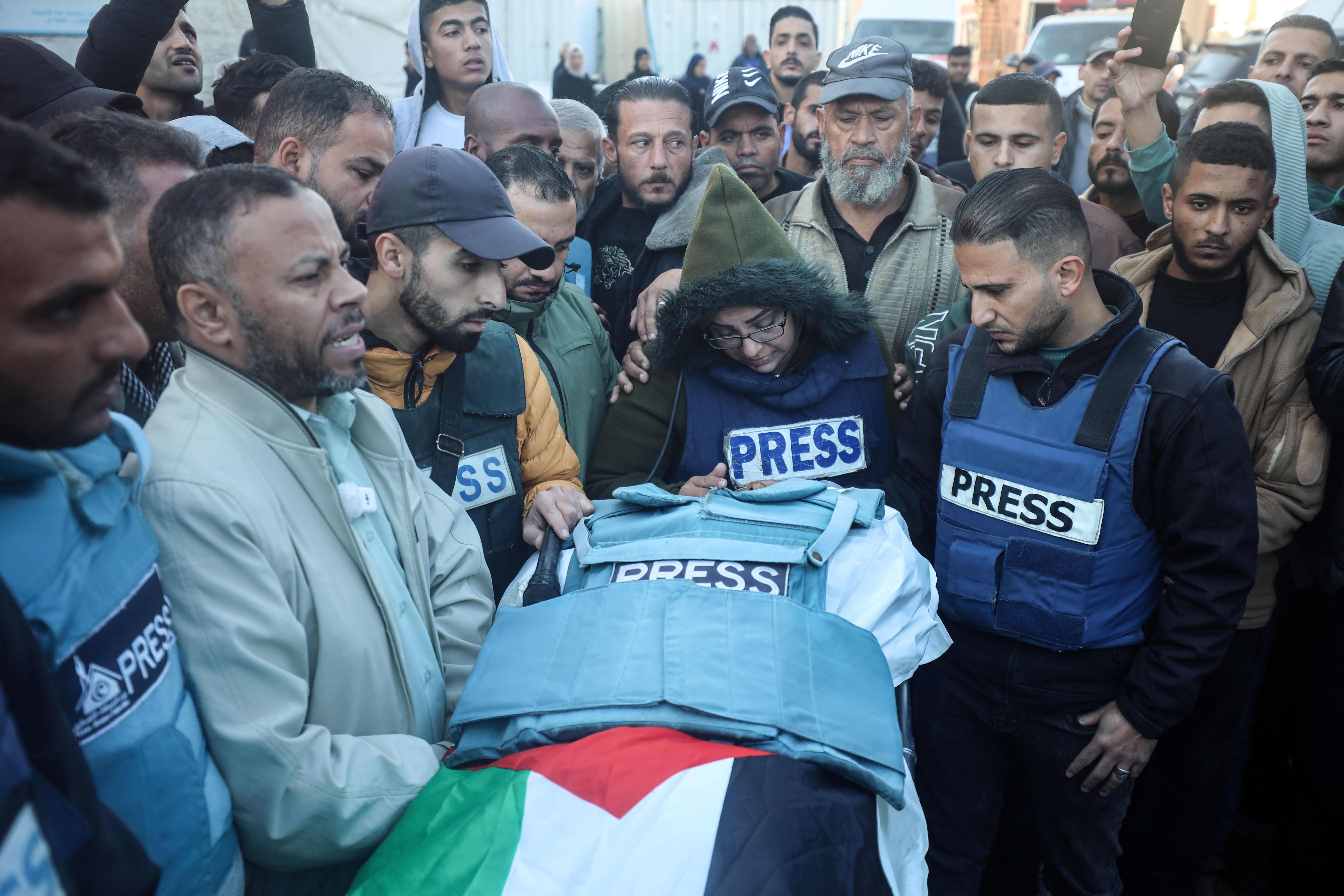
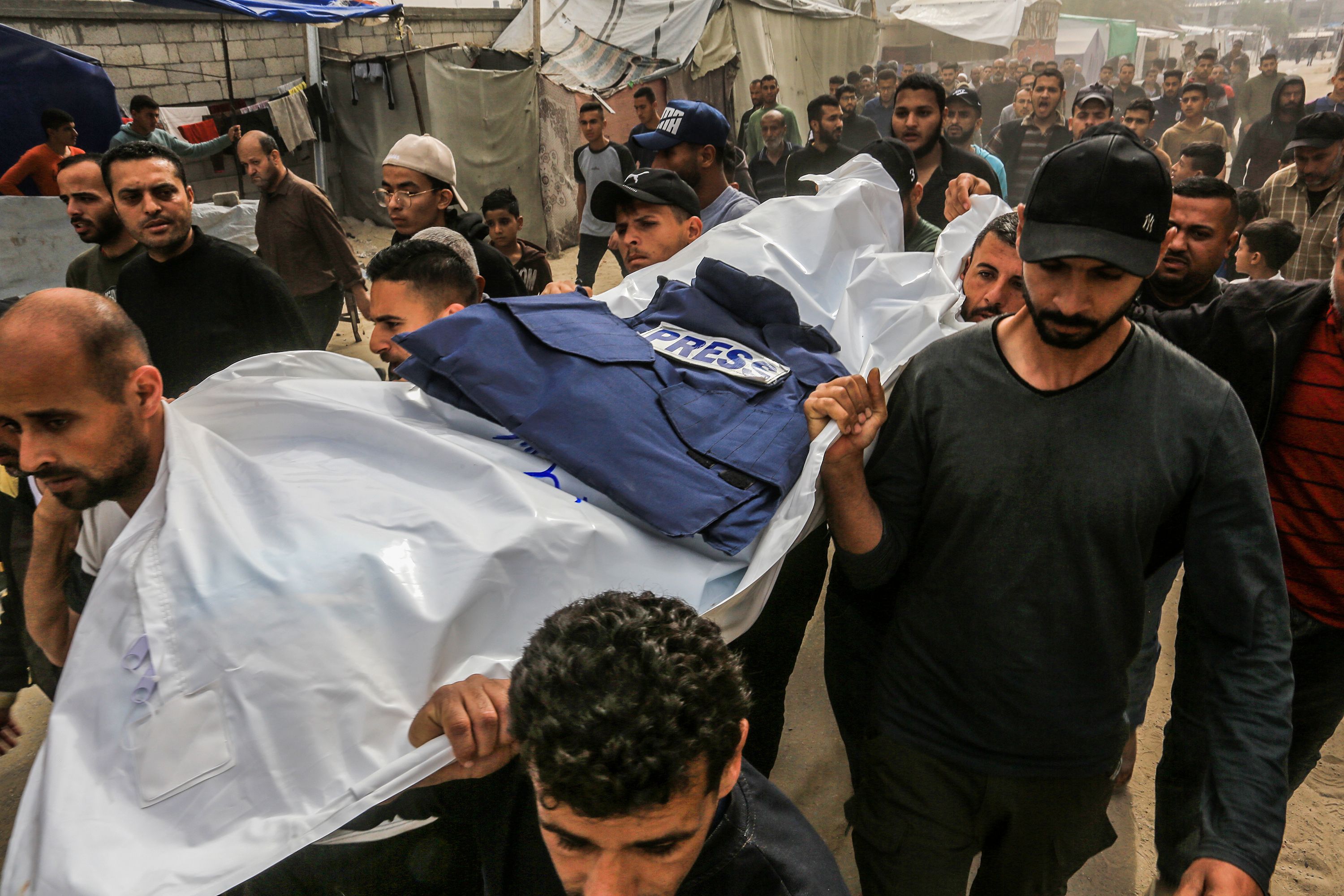
It started off as a simple search out of curiosity, especially in light of the increasing number of journalists murdered by Israel. I’ve noticed less footage coming out of Gaza and thought it would be a useful way to fully comprehend the amount of physical turmoil that struck the city. Given the great level of destruction happening to the infrastructure in Gaza, this issue remains under-investigated. International organizations should shed more light on it to hold those responsible of destroying digital cartography accountable to their crimes.
What do you see as the practical significance of uncovering these manipulations on Google Maps?
Revealing such exploitations of Google Maps, a tool that plays a huge part of our daily lives as civilians, exposes a darker side to the institutional structures that allow Palestinian homes to be ridiculed like this. The category “haunted house” is more than just a game played by the Israeli military - but it represents the fundamental dehumanization of Palestinians as they are being targeted inside their homes, buried under their rubble or displaced from the places they grew up in. It depicts what happens after uprooting a Palestinian life and how far the colonizer goes to negate its presence.
How did you begin the process of investigating labels and pins on Google Maps — what tools or methods did you use? Do you think more labels should be investigated?
At the beginning I started by using Google Maps on my mobile phone, and would tap on the Gaza Strip, then zoom into different sections of the area. My attention was first drawn to the area near Al Shifa Hospital, where one of the first attacks on hospital staff and patients was witnessed since the break of the war. I came across a building called “منزل عائلة ابو حجر” which was where I first saw the label “Haunted house”. After that, I started searching more locations starting with the name “منزل” and found another label “منزل أ. الحلبي” with the same categorization. On the longer run, a deeper investigation using satellite technology and cartographic techniques could help unravel more locations being labelled this way.
You also mentioned similar incidents in southern Lebanon. Do you see a broader pattern of digital cartographic manipulation in war zones, maybe Sudan currently?
Taking Lebanon as an example and looking at Gaza as a current specimen, the phenomenon is just starting to reach Sudan. As verified through recent satellite images, El Fasher in northern Darfur of Sudan has been besieged by the Rapid Support Forces. Only recently, since a newly launched offensive in April 2025, have satellite images reflected the barrier built around El Fasher. This is unfortunately also underreported - since El Fasher is also experiencing an extreme famine where no food or aid is reaching affected civilians. A newly published study conducted by the Humanitarian Research Lab at Yale School of Public Health revealed berms being constructed around the city to maintain further RSF control.
Similarly to the investigation at hand in Gaza, which suggests the potential involvement of foreign fighters in the Israeli army, around 300 Colombian mercenaries have been reported as participants fighting with the RSF. Just in August 2025, a video was circulated showing Colombian soldiers filming themselves while on the ground. This draws an important parallel about digital autonomy and the possibility of further manipulations taking place.
How do these digital tactics intersect with other forms of psychological or information warfare being carried out on the ground?
The manifestation of genocide and imperialism within these digital tactics demonstrates the power held by Israeli soldiers to document their crimes without accountability. It provides a platform for the military to continue conducting its atrocities in and frame them as victories. This rhetoric can also be applied to foreign mercenaries who are employed as contractors to fight on behalf of militias such as the RSF or be affiliated with organizations like Wagner Group which is active in several parts of West Africa - such as Mali.
What responsibility do you think companies like Google have when their platforms are used in ways that can distort reality in war zones?
A previous statement made in 2020 by Ethan Russell, director of product management at Google Maps, mentions Google’s position as “neutral on issues of disputed regions and borders” - imposing further concerns for daily users of Google Maps.
In light of this, it is both an institutional and moral duty for tech giants such as Google to examine such tampering within its cartographic infrastructure. The latter should also fall under their protocol on corporate social responsibility. There is a growing need to impose stricter guidelines about the type of interactions made via Google Maps that restrict advantageous activities to military personnel. This could be implemented through consulting a panel of cartography experts specializing in Global South research. An extension of military exploitation of Google Maps or lack of transparency about the way it is programmed can lead to further misinformation about multiple ongoing conflicts around the world - particularly as we are witnessing now in Gaza.
How can journalists and researchers responsibly use satellite imagery, without falling into the trap of misinformation or manipulation, and do you think the issue should be on the radar for other journalists?
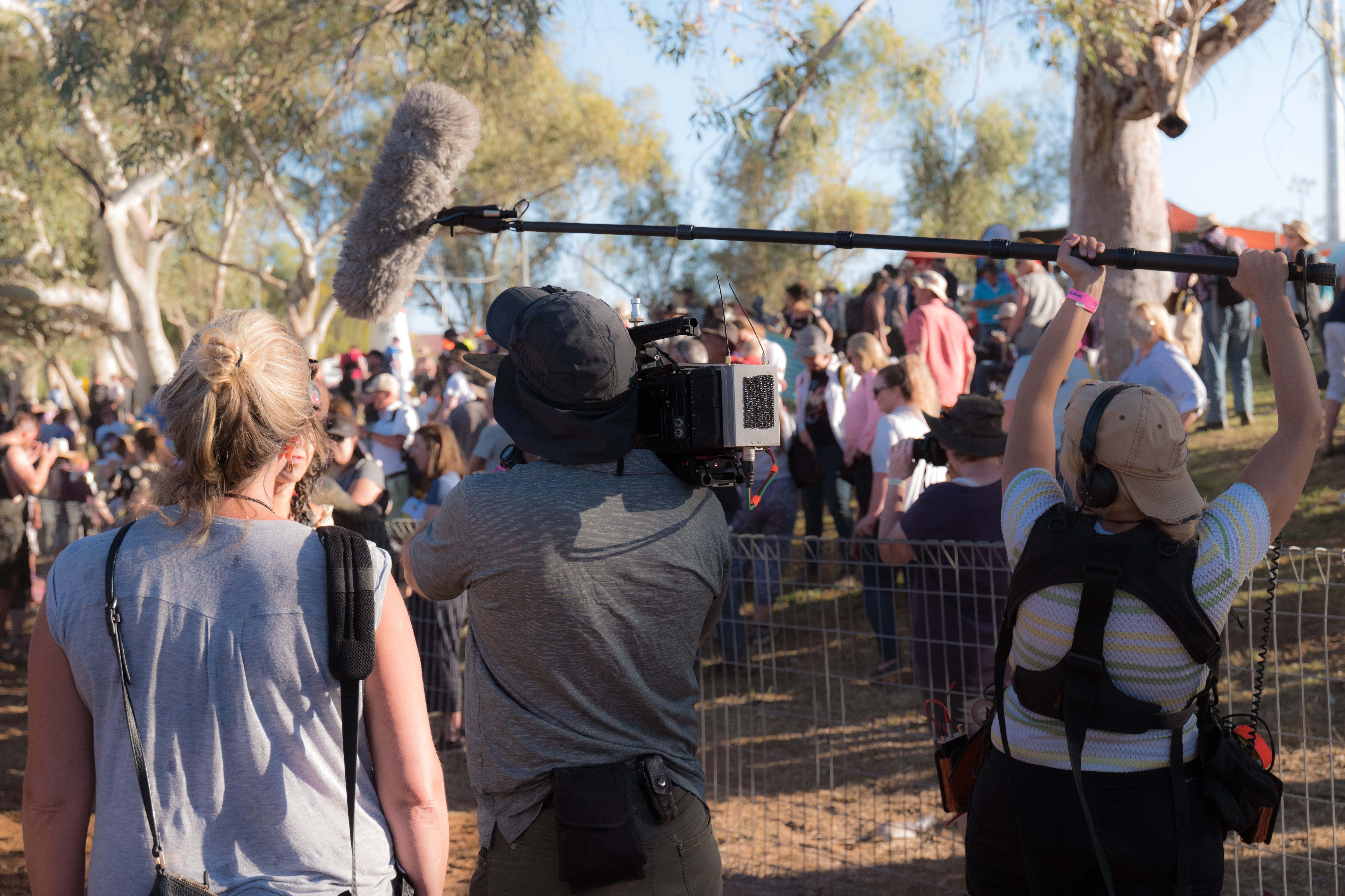
In the last decade, satellite journalism has become one of the most fruitful branches of investigative journalism. It has uncovered a new aspect of modern day reporting by relying on satellite footage as a medium for data excavation that cannot be easily retrieved through field work on the ground. This overcomes the limitation of being denied entry to areas of conflict. However, this type of application in investigative journalism is still subject to image manipulation by governments or affiliated organizations. Achieving standard, quality journalism with how current satellite infrastructure operates is difficult. Satellite image providers need to collaborate with experts on cartography and architecture in order to fact-check whether what is seen on satellite reflects previous reports of incidents on the ground. This is why fieldwork and satellite still need to work interdependently - rather than separately. Moreover, international journalism organizations need to push for access to more free satellite resources and global news outlets need to join this call to action.
Do you have some practical tips for other journalists who might be interested in following up with such work, in Gaza, or in other war zones?
From my recent experience into this, I would suggest organizing more collective forums that bring satellite experts specialized in war zones and climate change to help consult journalists on this issue. Providing more training in this area of investigative journalism can be a valuable investment, especially with the growth of right-wing and authoritarian governments - who could maintain this control if not pre-emptively addressed. The latter could bring us back to square one - where the narrative is dictated by cartographic bias. Simply initiating the discussion about satellite journalism and its proliferation is an optimal starting point.
You draw connections between Gaza and other conflicts, such as Ukraine. How do you see digital cartography shaping the way wars are documented and remembered in the future? Are there particular discrepancies between these two cases that you’d highlight?
Given the context of Gaza and Ukraine’s comparison, we will continue seeing discrepancies from one war to the other when it comes to updating satellite imagery and reporting on it. The material differences in which the cases of Ukraine and Gaza were handled by the international community reveal a “selective humanity” narrative. At the brink of Russia’s attack on Ukraine in early 2022, European governments were quick to construct an emergency plan to welcome refugees affected by Putin’s conquest. Aid and evacuation strategies were set to motion in a matter of days. On the other hand, Palestinians in Gaza have been faced with famine and a blockade on aid on its borders - with little to nothing entering the Strip.
This rhetoric on its own sets the tone for agency on who is more “worthy” of accurate news on their conflict. Consequently, this perspective builds a pathway for shaping narratives based on bias. In the case of the article at hand, a delay in updating satellite imagery was noticed. Whether this delay was intentional is not clear yet, but raises a question on whether some images have not been updated on purpose.
Digital cartography is at the heart of collective visual memory - and will mould the way we perceive wars and their ramifications. Whether it is in Mariupol or Gaza, when we look at a satellite image of what was once a thriving city and what was once a home full of dreams and lives - we will remember its man-made erasure. This will become a central tool for archival and “bookkeeping” humanitarian crises where civilians pay the highest price.
How does this affect Palestinians specifically, both in terms of memory (archiving destruction) and ongoing displacement?
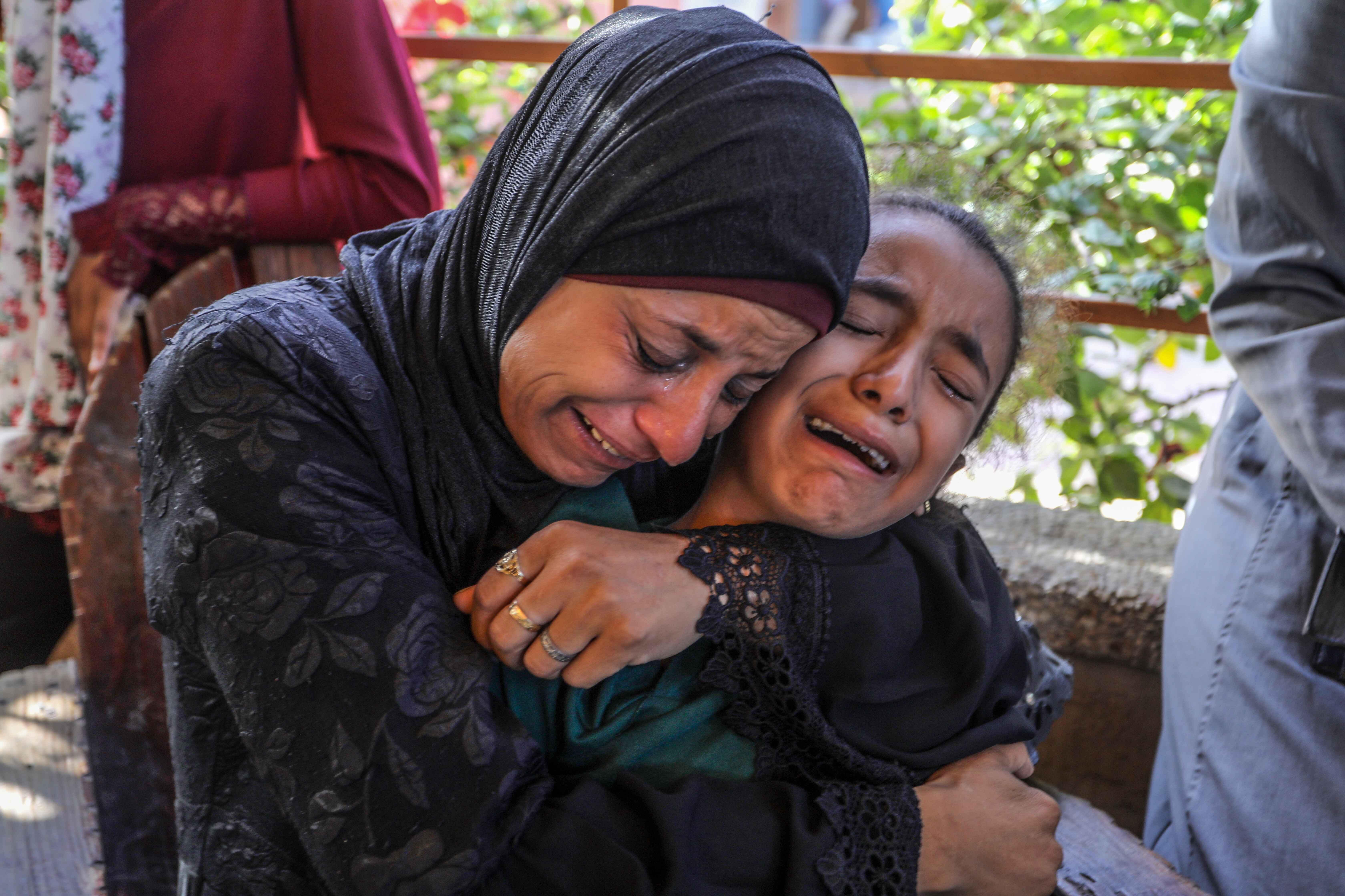
Palestinian history has been marked by attempts of discontinuation, denial and erasure by the Israeli occupation and its allies. It has been a collective challenge for decades and the duty to preserve Palestinian collective memory remains. Witnessing categorizations such as “haunted house” is beyond a manifestation of dehumanization - it is a clear message of genocidal intent. Along with human casualties in Gaza, we are also faced with the destruction of literature, art, music, and most importantly - historical evidence and records.
Displacement is another factor that adds to the complexity of archiving and is also both a military and colonial strategy meant to uproot Palestinians from their residences and ultimately their historical homeland. When digital cartography fails to reflect all of these stories, we become enabling spectators of a genocide where evidence is misplaced and manipulated. This makes it harder to impose accountability on those responsible for tampering with satellite imagery. The latter affects the general narrative around Palestinians particularly in Gaza - leaving them socially vulnerable.
The piece touches on AI surveillance tools such as Lavender AI. How do you see the intersection of mapping, AI, and military strategy evolving in conflicts?
As multiple governments around the world such as Germany, the US and the UK are remilitarizing their industries, AI application to warfare is predicted to become even more prevalent and even a point of business interest for private stakeholders. The rate at which AI is developing is unprecedented.
It has already been seen in several profiling applications in East Jerusalem at checkpoints between different Palestinian villages. Now in Gaza, similar technology was use at aid distribution sites, particularly those belonging to the controversial Gaza Humanitarian Foundation. Additionally, these AI-oriented techniques have been applied to systems that detect suspected militant activity and targets individuals within civilian infrastructure.
In light of its rapid spread, AI is only at the start of its growth era and will possibly become even better trained to benefit military strategies. Furthermore, it is foreseeable that the defence and intelligence industry will benefit from further investments and thus strengthen its military competencies - eventually providing equipment with higher precision.
The lack of regulations around AI application benefits such military systems and thus allows further irregular usage by external militias as well.